Land Surveying for Pike, Butts, & Lamar County
Licensed Georgia Surveyors specializing in rural land tracts, family subdivisions, and historical boundary recovery.

Expert Acreage & Estate Surveying in Zebulon, Jackson, and Barnesville.
Professional Accuracy for Middle Georgia’s Acreage.
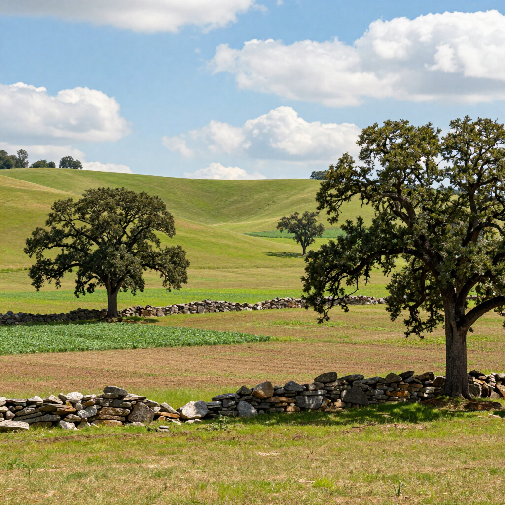
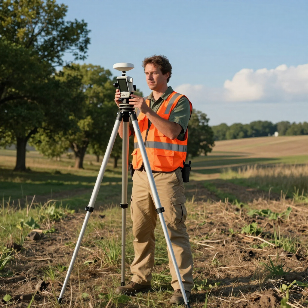
Surveying rural land in Pike, Butts, and Lamar Counties requires a different skillset than suburban lot staking. These areas are defined by "Metes and Bounds" descriptions that often reference historical landmarks—old oak trees, stone piles, and creek beds—that have shifted over time.
Pike County Expertise
From the rolling hills of Zebulon to the agricultural tracts of Meansville and Williamson, we understand Pike’s land lot system. We specialize in family land divisions and large-acreage boundary re-establishment.
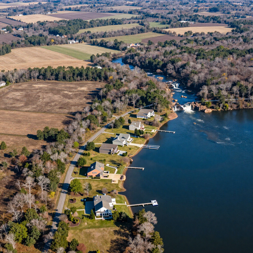
Butts County Expertise
Serving Jackson, Flovilla, and Jenkinsburg, we are experts in navigating the unique terrain around High Falls and Lake Jackson. We provide the precise topographic and boundary data required for waterfront properties and rural estates.
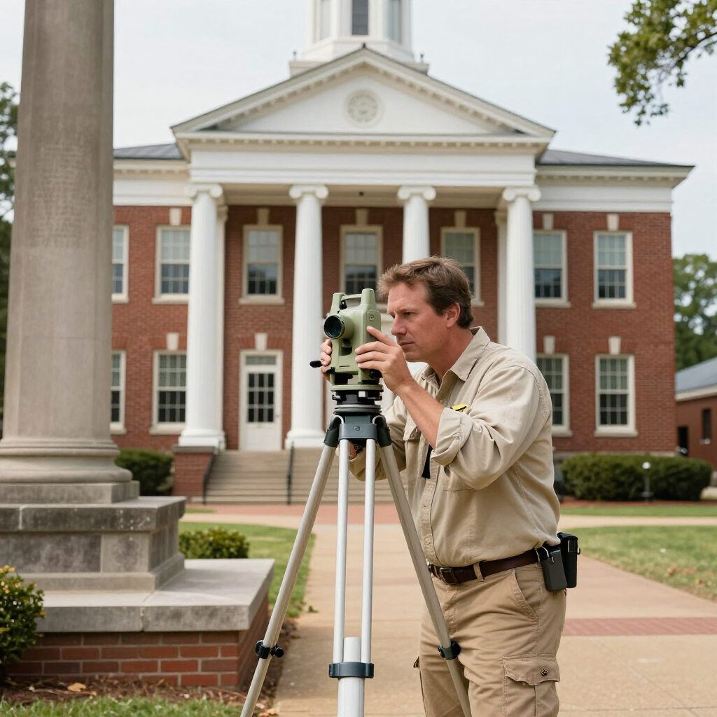
Lamar County Expertise
In Barnesville and Milner, we combine deep research in the Lamar County Superior Court records to ensure your family legacy is protected by a certified plat.
Family Land Subdivisions
Helping Pike and Lamar County landowners divide large tracts for family members while meeting all county Minor Subdivision ordinances.
Historical Boundary Recovery
Using the public archives to locate lost iron pins and stone markers on tracts that haven't been surveyed in decades.
Timber & Agricultural Surveys
Precise acreage calculations for timber sales, farm financing, and Conservation Use Assessment (CUVA) applications.
Rural and Acreage Surveying Services for Pike, Butts, and Lamar Counties
1
2
3
Large Acreage in Pike, Butts, or Lamar County?
Don't rely on an old "Tax Map" to guess your lines. Get a professional, high-precision estimate for your rural property today.