Some things simply can't be shortcut — and land surveying is one of them. Understanding a property's true boundaries, history, and legal description takes years of hands-on experience, careful research, and a genuine familiarity with the community you serve. That's exactly what Legacy Surveying brings to landowners throughout McDonough, GA and the rest of Henry County.
Our name isn't just a branding choice. It reflects decades of surveying knowledge passed down through Joe Rowan Land Surveying and Jeff Kuhn, now combined with the precision of modern GNSS satellite technology. In this article, we want to share a bit about who we are, why our history matters to your survey, and how that legacy translates into better results for property owners across Henry County.
Why Property Owners in McDonough Need a Surveyor Who Knows the Area
McDonough and Henry County have grown tremendously over the past few decades — from quiet farmland to one of Metro Atlanta's fastest-developing communities. That growth brings a mix of old rural parcels, newer subdivisions, and everything in between, often with layered histories that require careful interpretation.
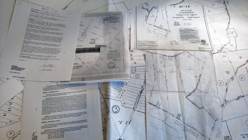
A surveyor without deep local roots may miss important context: historical land lot boundaries, prior surveys on file at the Henry County courthouse, or long-standing agreements between neighboring landowners. Legacy Surveying's decades of local experience mean we're often able to resolve boundary questions faster and more accurately than a firm without that institutional knowledge.
Our Roots: Joe Rowan Land Surveying and Jeff Kuhn
Legacy Surveying was built on a foundation laid by two respected names in Georgia surveying: Joe Rowan Land Surveying and Jeff Kuhn. Together, their combined experience represents over 40 years of hands-on surveying work throughout South Metro Atlanta and Middle Georgia — including countless projects in and around McDonough and Henry County.
That history matters because surveying isn't just about taking measurements. It's about understanding:
- How Georgia's historic land lot system applies to older parcels
- Where past surveyors placed monuments and how those markers have shifted over time
- How red clay terrain and rural acreage common throughout Henry County can affect boundary interpretation
- Which courthouse records and deed histories are relevant to a specific property's story
This institutional knowledge doesn't come from a textbook. It comes from decades of walking Henry County properties, researching deed histories, and building trust with the community one survey at a time.
Modern Precision Meets Local Knowledge
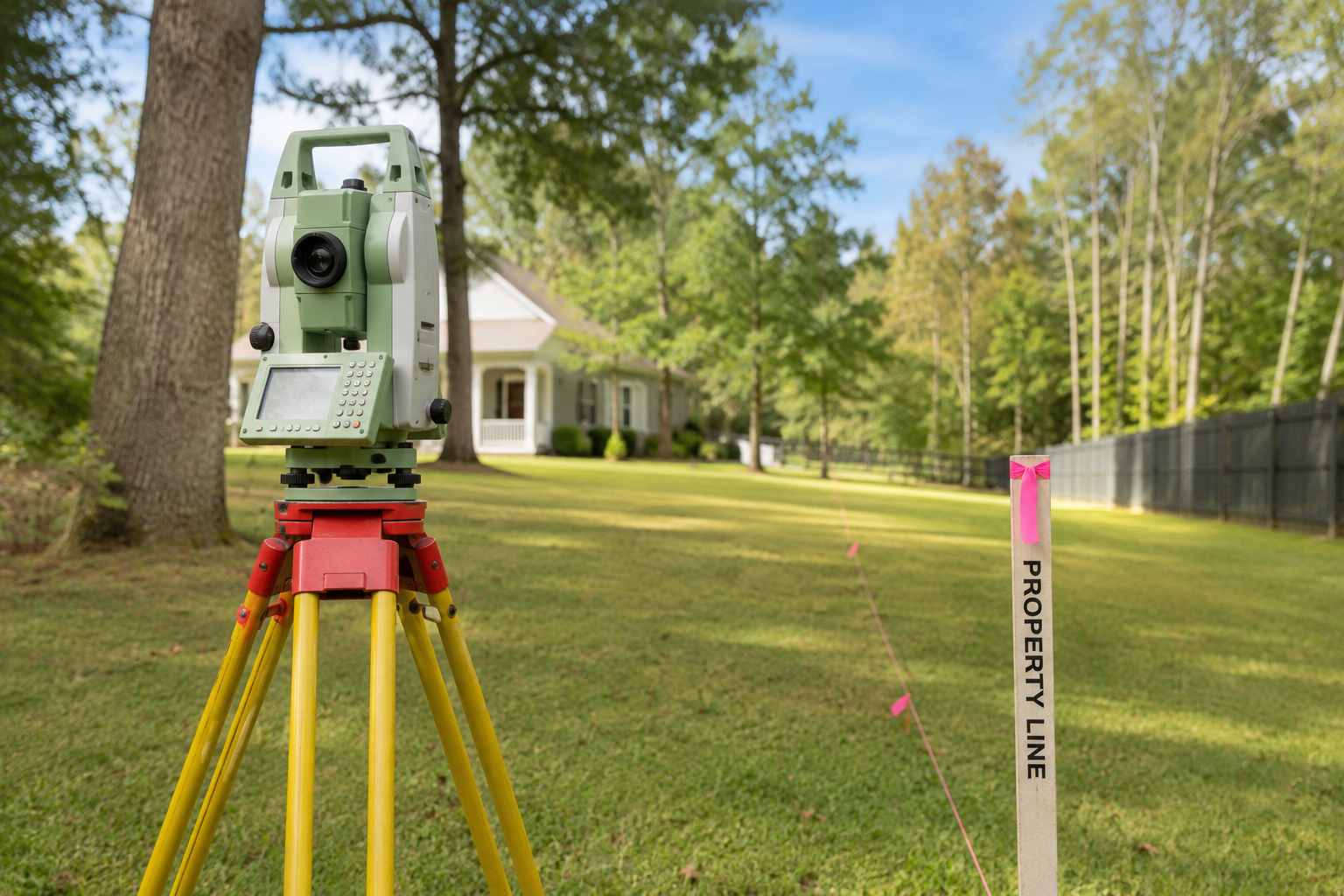
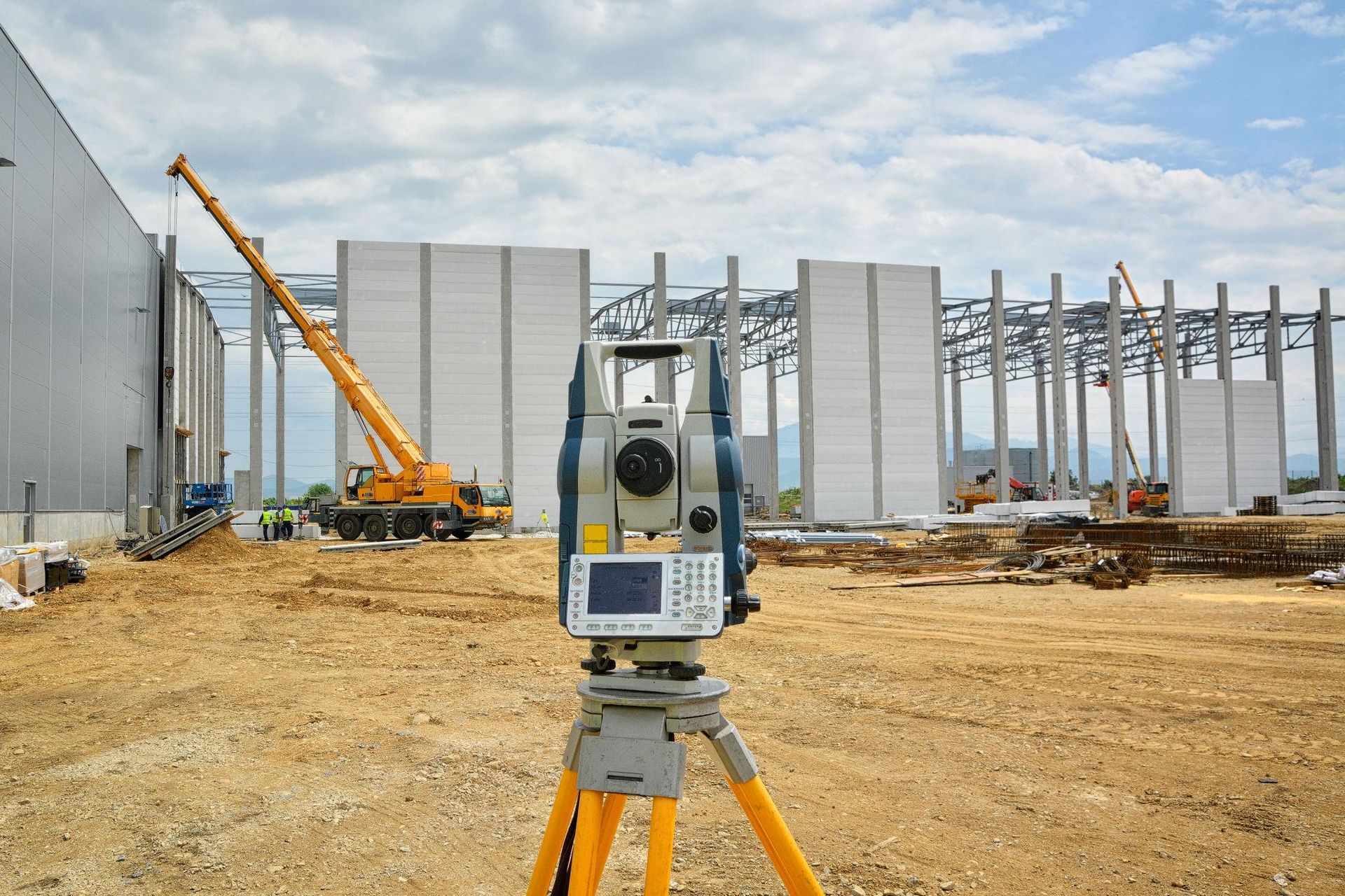
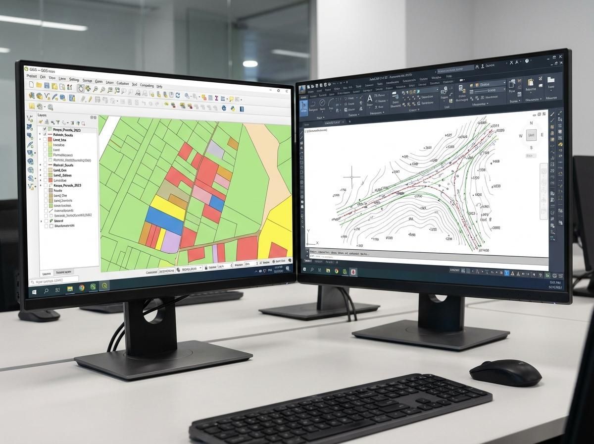
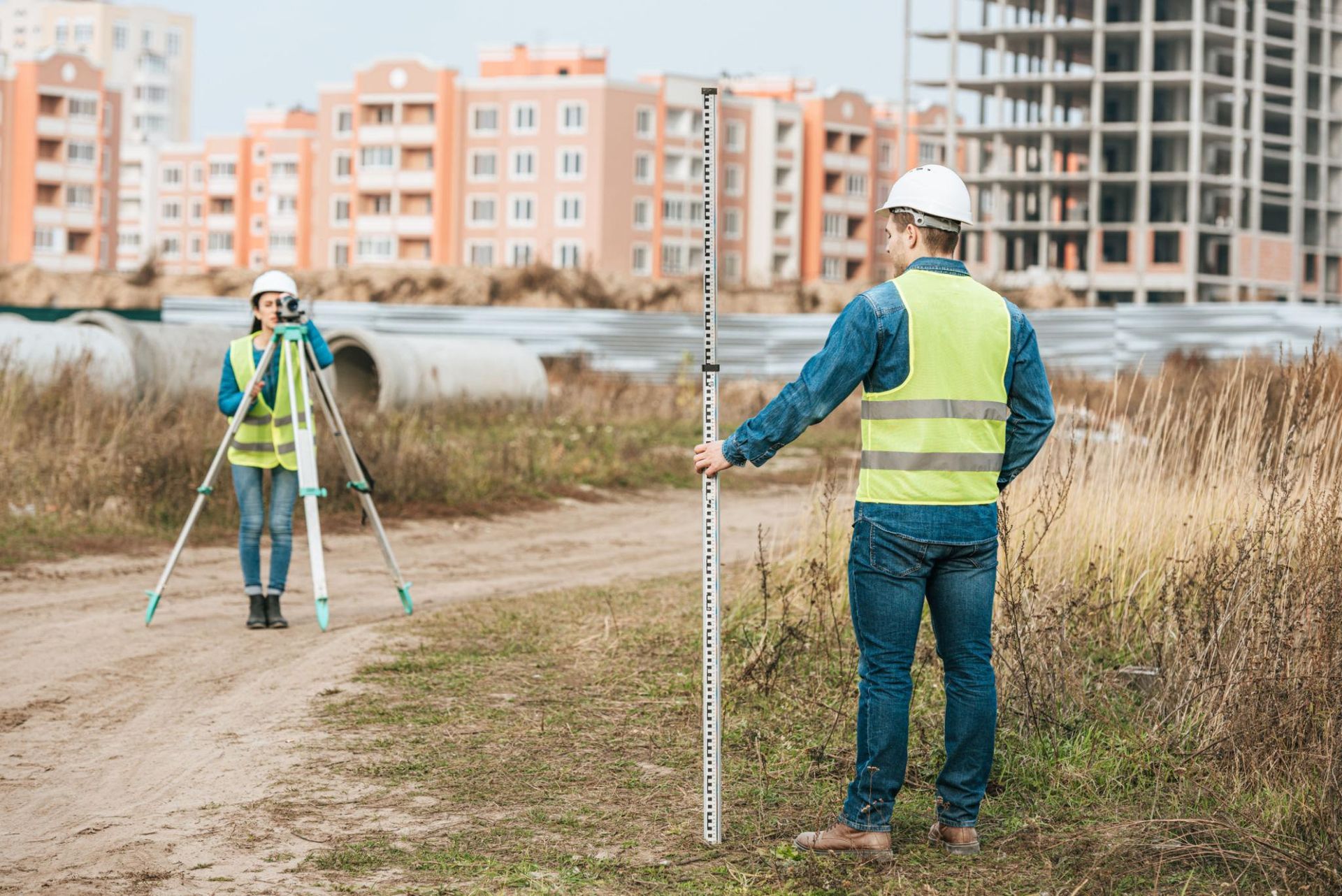
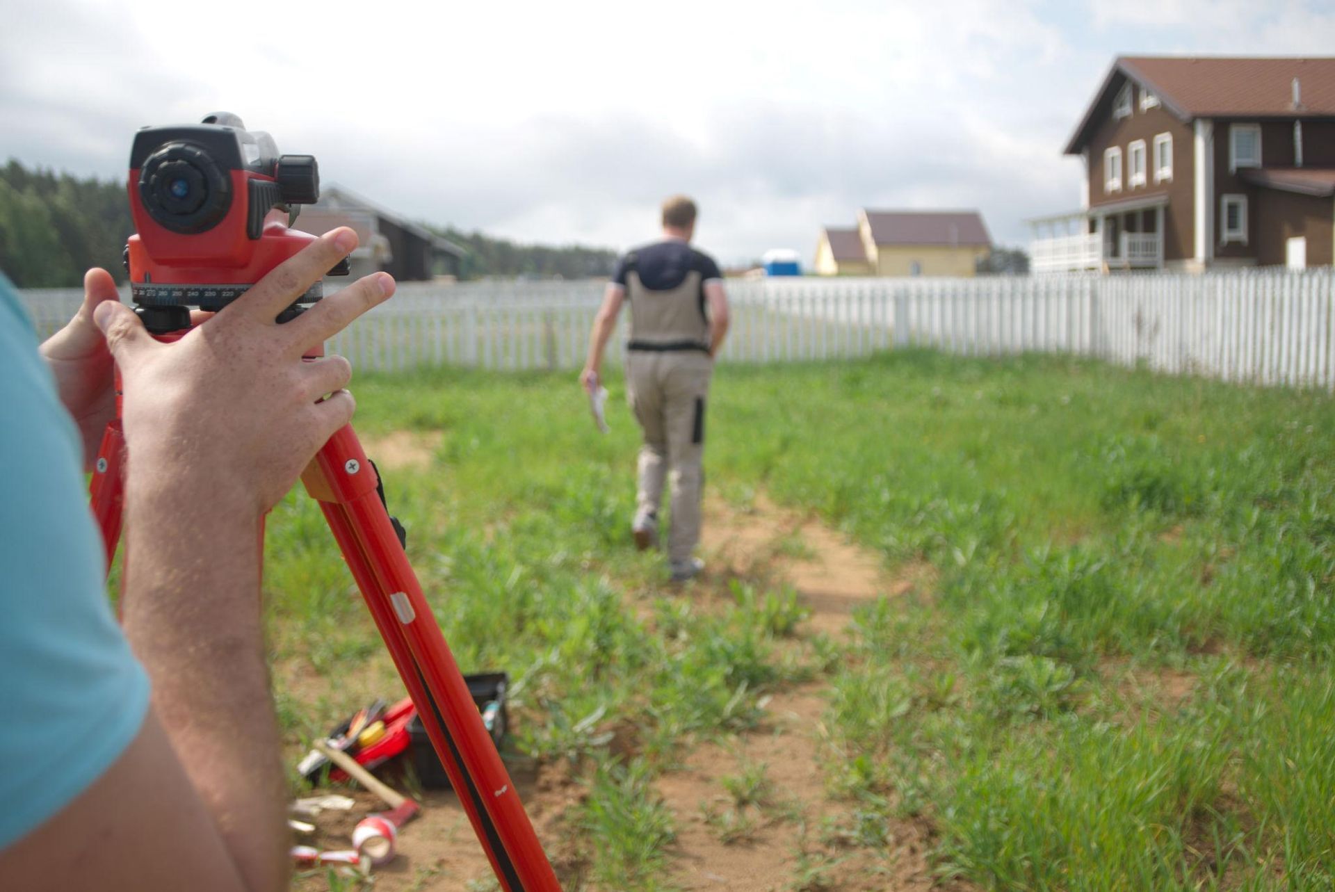
While our heritage runs deep, our tools are thoroughly modern. Legacy Surveying uses high-precision GNSS satellite equipment and total stations on every project, allowing our team to combine historical research with accurate, efficient fieldwork.
For McDonough property owners, this means:
- Faster turnaround on residential and commercial surveys
- Highly accurate measurements even on large rural or wooded parcels
- Legally defensible results suitable for permitting, financing, or dispute resolution
- A survey process informed by both historical records and precise modern data
How We Serve the Henry County Community
Beyond individual survey projects, we take pride in being a resource for the McDonough and Henry County community. Whether it's helping a family navigate a land division, assisting a builder with construction staking on a new development, or resolving a boundary question that's lingered for years, our goal is to be the surveying partner property owners can turn to and trust.
We regularly work alongside:
- Homeowners preparing to build, fence, or sell property
- Builders and developers managing subdivision and construction projects
- Attorneys and realtors handling real estate transactions
- Farmers and landowners with rural acreage and family land divisions
What Sets a Legacy Firm Apart
Choosing a surveying company is choosing a partner for one of the most important documents tied to your property. Here's what decades of experience in Henry County allows us to offer:
- Historical accuracy — We know how to trace deed histories and original land lot corners that newer firms may overlook.
- Community familiarity — We understand McDonough's growth patterns, common boundary issues, and local courthouse procedures.
- Consistent quality — Our surveys are built on the same rigorous standards that have defined our team's work for over 40 years.
- Modern efficiency — GNSS and total station technology keep projects moving without sacrificing accuracy.
Frequently Asked Questions
How long has Legacy Surveying served McDonough and Henry County? Our team's combined surveying experience, built through Joe Rowan Land Surveying and Jeff Kuhn, spans over 40 years of work throughout South Metro Atlanta and Middle Georgia, including McDonough and Henry County.
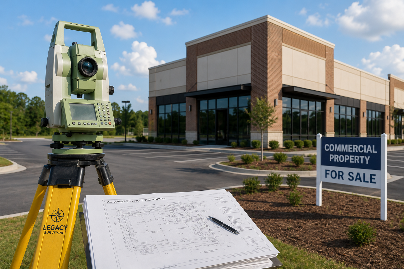
What types of surveys does Legacy Surveying offer in McDonough? We provide boundary surveys, ALTA/NSPS surveys, topographic surveys, construction staking, subdivision and land development surveys, and courthouse research services.
Why does local experience matter for a land survey? Local experience helps surveyors interpret historical land lot boundaries, locate prior survey monuments, and navigate courthouse records specific to Henry County — all of which improve accuracy and reduce delays.
Does Legacy Surveying work with rural and agricultural properties? Yes. Our team has extensive experience surveying rural acreage, farmland, and properties affected by Georgia's historic land lot system.
How do I get started with a survey in McDonough, GA? Simply contact our team with your property details, and we'll walk you through the research and field survey process from start to finish.
Conclusion
Legacy Surveying's name reflects exactly what we offer McDonough and Henry County landowners: a survey company built on decades of trusted, local experience — now paired with the accuracy of modern GNSS technology. Whether you're building, buying, dividing land, or resolving a boundary question, our team is here to serve as your trusted surveying partner.
Looking for a surveying company in McDonough, GA that combines local heritage with modern precision? Contact Legacy Surveying today for accurate boundary surveys, ALTA surveys, topographic mapping, and construction staking backed by decades of local expertise throughout Henry County.