From Dirt to Digital: How Modern Technology is Changing Land Surveying
Land surveying has come a long way from the days of chains, compasses, and handwritten field notes. Today’s surveying industry combines traditional expertise with advanced digital technology to deliver faster, more accurate, and highly detailed results.
At Legacy Surveying, we embrace the latest modern surveying technology to provide precise, dependable surveys for residential, commercial, and development projects throughout Peachtree City, South Metro Atlanta, and Middle Georgia.
The Evolution of Land Surveying
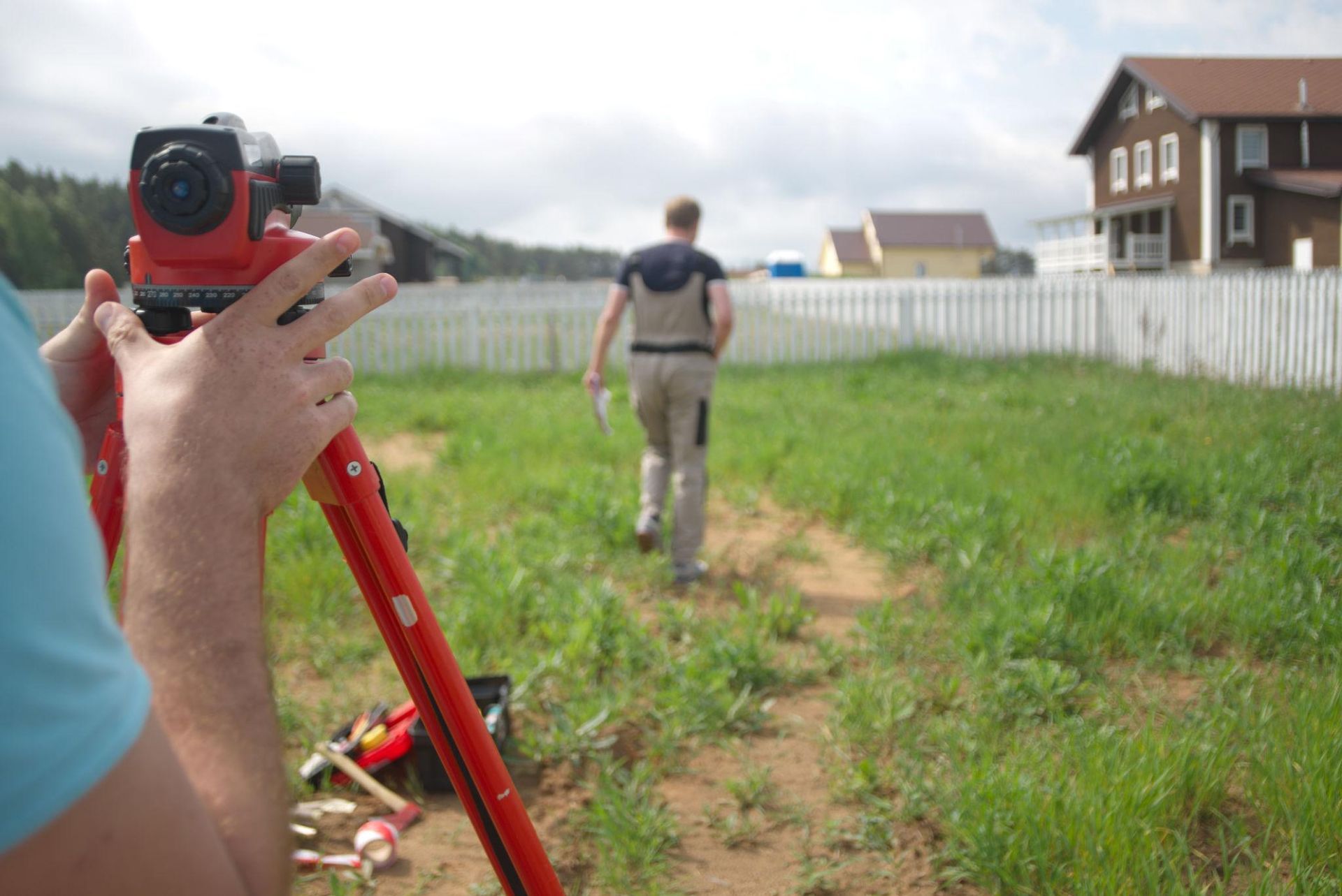
Historically, land surveyors relied on manual tools and calculations to establish property boundaries and map land features. While those methods laid the foundation for the profession, modern projects demand greater efficiency and precision than ever before.
Today’s land surveyors use advanced GPS systems, laser-based equipment, robotic total stations, and digital mapping software to collect highly accurate field data. These innovations allow survey teams to complete projects more efficiently while improving consistency and reducing errors.
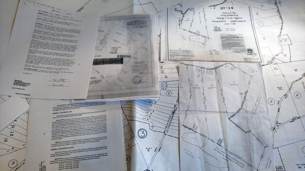
The “Dirt to Digital” Process at Legacy Surveying
At Legacy Surveying, we use a modern “Dirt to Digital” workflow that transforms field measurements into accurate digital deliverables for our clients.
The process begins in the field, where our survey crews collect precise data using advanced equipment and proven surveying methods. Once the information is gathered, the data is processed digitally to create detailed plats, maps, and CAD files that can be easily shared with property owners, architects, engineers, and contractors.
This streamlined process helps improve communication, reduce project delays, and support smarter planning decisions from start to finish.
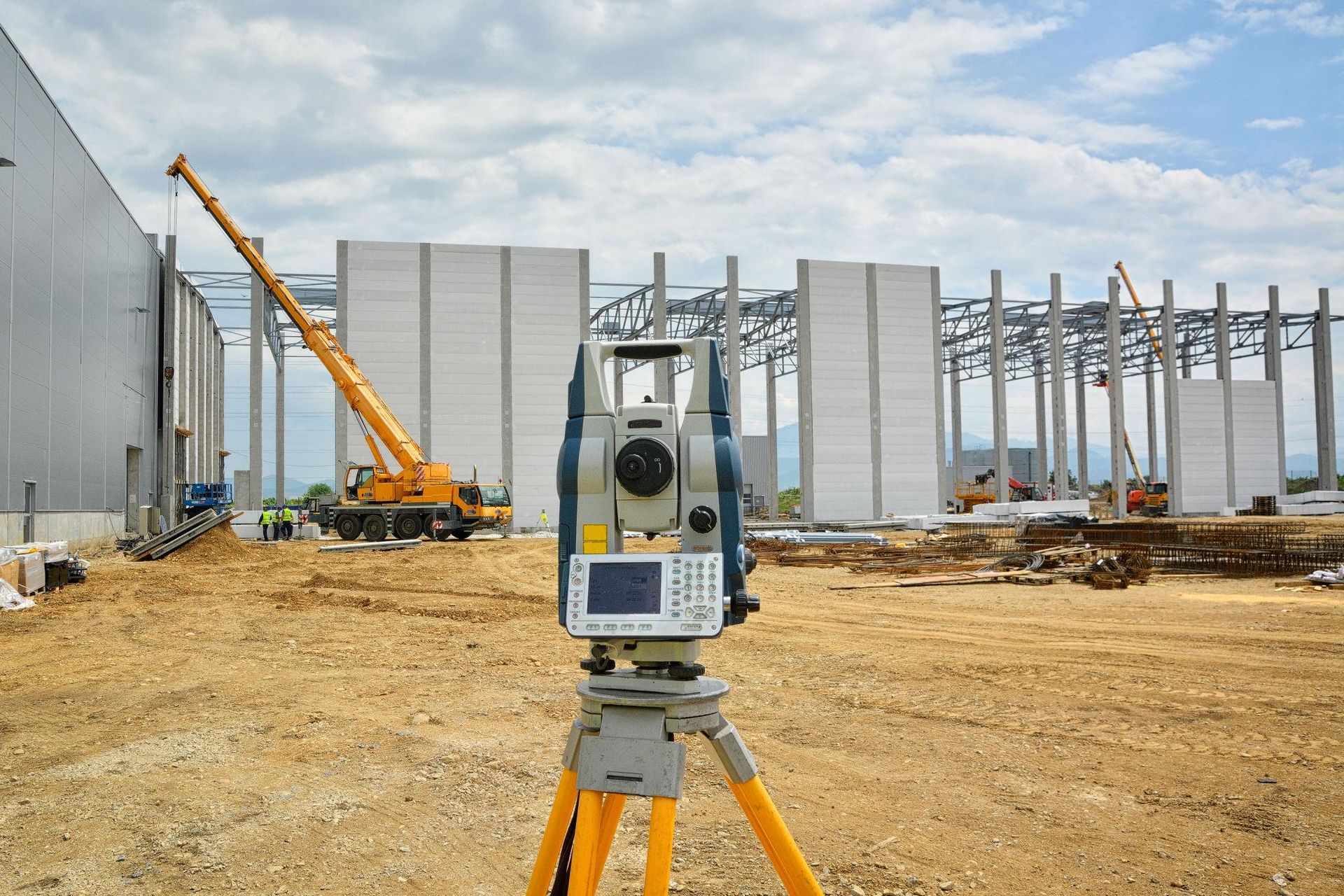
The Role of Robotic Total Stations
One of the most important tools in modern land surveying is the robotic total station. These advanced instruments combine electronic distance measurement, angle calculation, and automated tracking technology to capture highly accurate field data.
Modern robotic total stations allow surveyors to work more efficiently in the field while maintaining exceptional precision across residential, commercial, and construction projects.
For clients, that means more reliable property boundaries, cleaner data collection, and greater confidence in the final survey results.
The Benefits of Digital Survey Deliverables
Modern surveying technology also makes it easier to deliver digital files that support a wide range of projects and industries.
Digital deliverables may include:
- CAD files for architects and engineers
- Digital plats and boundary maps
- Construction layout data
- Electronic survey records for future planning
- Easy-to-share documentation for property owners and contractors
These digital tools improve project coordination and help clients access important survey information quickly and efficiently.
Technology Backed by Experience
While modern technology has transformed the surveying industry, successful land surveying still depends on skilled professionals and rigorous fieldwork.
At Legacy Surveying, we combine advanced equipment with experienced field crews, detailed research, and proven surveying practices to ensure every project is completed with accuracy and professionalism.
Technology may improve efficiency, but experience and attention to detail remain essential to delivering reliable survey results.
Trusted Land Surveying Services in Peachtree City and Beyond
If you are looking for a professional land surveyor in Peachtree City or need accurate surveying solutions for your next project, Legacy Surveying is here to help.
Contact Legacy Surveying today to learn how modern surveying technology can support your residential, commercial, or development project.