Topographic Surveys Explained: Mapping the Surface for Better Design
Not every property is flat, simple, or easy to develop. Slopes, drainage patterns, elevation changes, trees, utilities, and existing structures can all affect how a site is designed and built. That is why accurate topographic data is essential before major planning or construction begins.
For architects, engineers, developers, and property owners across Fayetteville, Coweta County, and South Metro Atlanta, a professional topographic survey provides the detailed surface information needed to support smarter project decisions.
What Is a Topographic Survey?
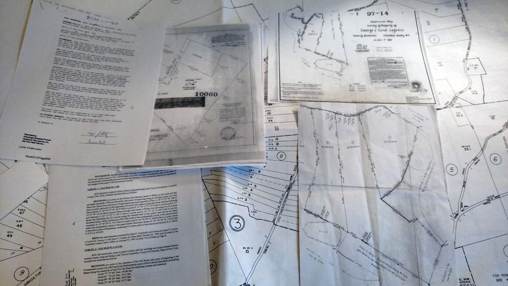
A topographic survey is a detailed mapping process used to measure and document the physical features and elevation changes across a property.
Unlike a basic boundary survey, a topographic survey focuses on the shape and surface characteristics of the land. This includes:
- Ground elevations and contour lines
- Slopes and grade changes
- Trees and vegetation
- Roads, driveways, and sidewalks
- Existing buildings and structures
- Utility features and drainage systems
- Fences, retaining walls, and surface improvements
This information is used to create an accurate representation of the property’s surface conditions, helping project teams understand how the land will affect design and construction.
Who Needs a Topographic Survey?
Topographic surveys are commonly used by professionals involved in site planning, engineering, and construction projects.
Clients who frequently rely on topographic mapping include:
- Architects designing buildings and site layouts
- Civil engineers preparing grading and drainage plans
- Landscape designers planning outdoor spaces
- Developers evaluating construction feasibility
- Property owners preparing for additions or improvements
Whether the project involves residential construction, commercial development, road improvements, or stormwater management, accurate surface data helps teams plan more effectively from the beginning.
How Topographic Data Supports Better Design
Topographic survey data plays a critical role in many aspects of site design and engineering.
Accurate elevation and contour information helps professionals:
- Design proper drainage systems
- Plan grading and earthwork efficiently
- Reduce erosion and water runoff issues
- Determine foundation elevations
- Identify construction challenges before work begins
- Improve site accessibility and utility planning
Without reliable topographic information, design teams may overlook important site conditions that can lead to costly construction changes later in the project.
Accurate Topographic Mapping Across South Metro Atlanta
Legacy Surveying provides professional topographic survey and site design survey services throughout Fayetteville, Coweta County, and the South Metro Atlanta region.
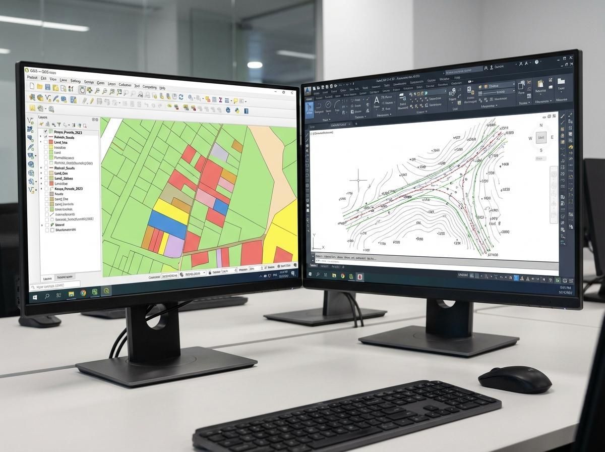
Using advanced surveying equipment and proven field methods, our team delivers highly accurate surface data that supports planning, engineering, and construction projects of all sizes.
Whether you need topographic mapping in Fayetteville, a site design survey in Coweta County, or detailed elevation data for a development project, Legacy Surveying is committed to providing dependable results with precision and professionalism.
Start Your Project With Accurate Site Data
Good design starts with accurate information. A professional topographic survey gives your project team the data needed to design smarter, build more efficiently, and avoid costly surprises during construction.
Contact Legacy Surveying today to schedule a topographic survey for your next project in South Metro Atlanta.